Sunday, November 21, 2010

From the Rockies to the Gatineau Hills - a journey across Canada

Moving Nancy from Cochrane, AB to Ottawa required a drive of 4,000+ kilometers from the prairie that is only kilometers from the Rockies, across the prairies of Alberta, Saskatchewan, the transition from prairie to the Canadian Shield in Manitoba and then we were only half way home. The drive across Ontario would be the other half of the trip along the now two lane Trans-Canada Highway that has a speed limit of a measly 90 km/hr.

We did the trek in four days with Nancy's two dogs. The trip was seamless and just a joy, despite driving about 1,000 km a day.


Big sky land never gets boring.


The Trans-Canada in Alberta is arrow straight, but it was never boring.


Fossil fuels and wind power... the tide is turning.


Grain elevators are a Canadian prairie icon and the old ones are just a joy to see, particularly the ones in not so great condition.


A land feature in Saskatchewan. I think it was the only one.


The main east-west rail line follows the Trans-Canada, so it's never too long before you see another train.


There are a surprising number of abandoned buildings visible from the TCH.


The brackish lake near Chaplain, SK, which is a stopping ground for millions of migratory birds that we never see anywhere else in Canada.


Salt being 'mined' from the area around Chaplain. At first I thought it was snow, it looks so out of place.


Yet another abandoned house.


Golden fields in Saskatchewan.

The grain elevator you see coming into Moose Jaw, SK.

All these pix were taken while moving, so excuse the odd blurring.

Yet another abandoned farm.

Big sky, golden fields of fall and a train. Perfect prairie shot from Manitoba.

The change into Ontario was dramatic. Land of rock and lake.


The Sleeping Giant evoked some childhood memories since I was born in Fort William, ON.


Rock walls every where.

The north shore of Lake Superior reminded me of Cape Breton, NS.


One of the many bridges that span the many lakes and rivers in north western Ontario.

If you miss this turn, you'll be in Superior.

The land around Sudbury has changed dramatically from when I was a kid. Rather than the moonscape of old from the acid rain, it's now abundant with white birch and I would say just about no other species of tree.

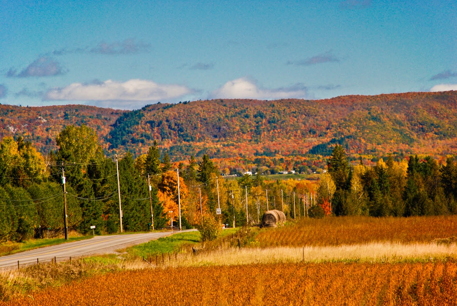
A lot of the last let was driven at night and while Ontario is beautiful from stem to stern, the rocks and lakes do get to look the same after a while. All in all, an epic journey across Canada.

Saturday, October 9, 2010

Parc Omega

Charlotte and I went to Parc Omega near Montebello, QC last month and drove through to see some wild life. It's a pretty good game park and you really can get up close and personal with the animals, so long as you stay in your car.


Fall Colours, 2010

Thanksgiving weekend in the Ottawa valley, peak weekend for the fall colours.


Saturday, September 18, 2010

Alberta in September

This month I went out west again and we did a road trip to Waterton National Park, near the Montana border. We also popped into Banff as well. I don't normally like to be in my shots, but Nanc shot this one of me at our first destination, which is self explanatory.


Looking south east from the jump


The jump...

A marmot scurries across the ledge of the jump.


Looking north east.

Looking up at the escarpment.


Verga spotted enroute to Waterton.


Prince of Wales Hotel, Waterton, AB.


Looking south into Montana.


Magpie on the roof of a car in the hotel lot.


One of four deer catching an early morning nap in a baseball diamond in Waterton.

Early morning Merganser.


Power station and water tower for the Prince of Wales.


Town of Waterton, AB.


Red Rock Canyon, in Waterton National Park.


Rock face overlooking Lake Minnewanka, the largest lake in the Canadian Rockies.